

I admit I mainly wanted to walk in the Lickfold area because it’s got a funny name, but it also turns out to be in a really beautiful, rural part of Sussex.
Sitting in that bit of the county between Midhurst and Haslemere, it is comfortably within the boundary of the South Downs National Park, but this is not Downland. The bones of the earth, where they break through around here, are not white chalk, but sandstones that are far older than that. The great dark lump of Black Down looms in the distance, itself an outlier of the sandstone Surrey Hills, despite being the highest point in Sussex. The ground is spongy, sweet chestnut abounds in the woods and there are vast areas of commercial pine forest, while bracken fringes the edges of the woods and lanes. In fact this area, with its acid soils and rolling, thickly wooded hills, has much more in common with the High Weald than it does with the South Downs.
The villages are few and scattered and the houses often built out of the local stone, glowing honey-coloured in the weak December sun. This is one of the less-visited parts of the National Park and this is a big part of its glory. The paths are a little harder to follow in places, but still not difficult and there were some real moments of delicious solitude, while the surroundings alternated between deep, dark, secret woodland and wide open pastures.
There may be something in this business of choosing walks based on funny names after all. As a bonus the area also glories in the names “Dirty Bridge Barn” and “Dirty Bridge Field” (which is a wood, oddly). There didn’t seem to be an actual “Dirty Bridge”, though. Perhaps it’s too ashamed to bring attention to itself.


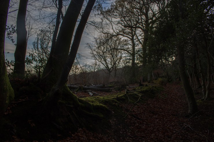
A wood bank on the edge of Bexleyhill Common, with coppiced beech on the corner. Wood banks are ancient boundaries between properties and often have coppiced, stumped and pollarded trees on them to make them more obvious.


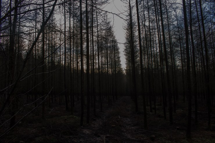
Although this might look like a stand of dead trees, in fact it’s a plantation of larch – the only deciduous conifer – in its winter plumage.
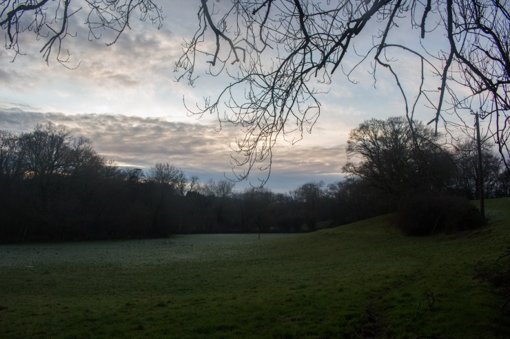
Definite signs of man-made channels in this meadow, silted up and barely discernible now, but the shallow, linear depressions in the deep grass show that this was once a water meadow and deliberately flooded to encourage lush growth. Just needs a lovely old red poll cow called Ermintrude to stand in the middle of it all and chew on a buttercup. A red poll? In Sussex? Sorry, that’s the Suffolk in me coming out.
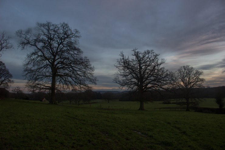
If you see a row of big old trees in a field like this, it’s very likely a sign that there used to be a hedgerow here. The rest of it’s been grubbed up for one reason or an other and only the big old oaks, too expensive and valuable to remove, remain to show us what once was.


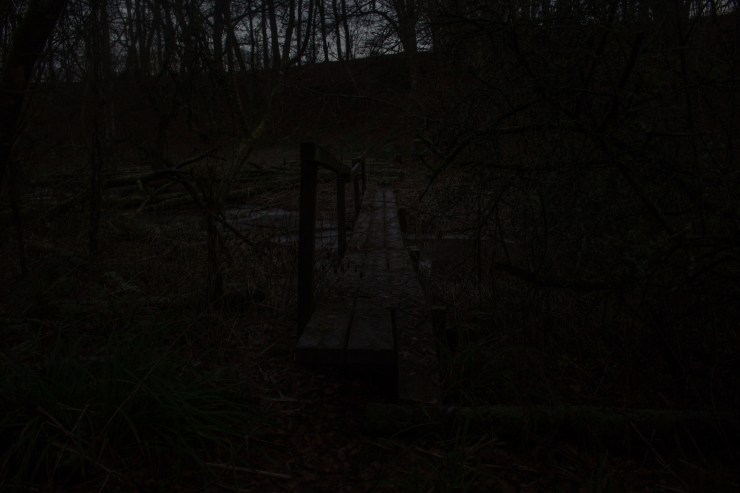
Although it looked quite scary in the gathering gloom and it was a bit slippery in the ice, this bridge doesn’t even make the top five Scariest Sussex Footbridges


Nice. I need to visit someday.
John E. Lickfeld
LikeLike
Haha! I hope you do, it’s a beautiful place.
LikeLike